


Software
Description
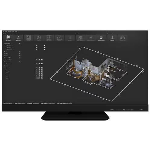
PinPoint is the point cloud registration software from Leica Geosystems, offered for a period of one year. It handles assisted alignment of the scans, intelligent 3D snapping and data filtering, in order to reduce manual rework and to discard duplicates and stray points, including on projects with many set-ups. The software imports the data of the Leica BLK360, RTC360 and BLK2GO scanners, as well as that of scanners from other brands. From the registered cloud, it makes it possible to extract measurements, to produce plans, 3D models and ortho-images, then to export to the main design tools such as AutoCAD, Revit or SketchUp. Labelling the elements maintains a structure compatible with BIM processes, and both import and export cover the standard formats, from panoramas to optimised point clouds. The publisher highlights a short learning curve, accessible to beginners as well as to experienced users.
Technical characteristics
Software type
Manufacturer reference